The south east corner of Gibbs Plantation
Introduction
The photograph on this page of The south east corner of Gibbs Plantation by Roger A Smith as part of the Geograph project.
The Geograph project started in 2005 with the aim of publishing, organising and preserving representative images for every square kilometre of Great Britain, Ireland and the Isle of Man.

There are currently over 7.5m images from over 14,400 individuals and you can help contribute to the project by visiting https://www.geograph.org.uk
The south east corner of Gibbs Plantation
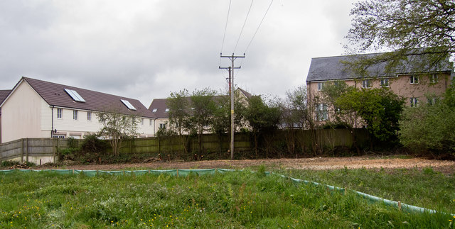
Image: © Roger A Smith Taken: 3 May 2019
The houses are on Sampson's Plantation. The row of trees is a Devon Hedge which has recently been desecrated by contractors clearing the land for development. See also: Image and Image
Images are licensed for reuse under creativecommons.org/licenses/by-sa/2.0
Image Location
Latitude
51.067963
Longitude
-4.137529