Wrightington Bar
Introduction
The photograph on this page of Wrightington Bar by Alan Kenwright as part of the Geograph project.
The Geograph project started in 2005 with the aim of publishing, organising and preserving representative images for every square kilometre of Great Britain, Ireland and the Isle of Man.

There are currently over 7.5m images from over 14,400 individuals and you can help contribute to the project by visiting https://www.geograph.org.uk
Wrightington Bar
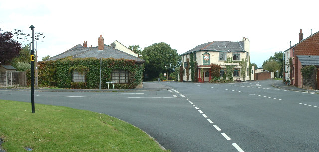
Image: © Alan Kenwright Taken: 28 Sep 2005
A major junction of minor roads, the biggest of which is the B5250
Images are licensed for reuse under creativecommons.org/licenses/by-sa/2.0
Image Location


Leaflet Map data © OpenStreetMap
Latitude
53.61597
Longitude
-2.704392