Priesthaugh Farm
Introduction
The photograph on this page of Priesthaugh Farm by Steve Kent as part of the Geograph project.
The Geograph project started in 2005 with the aim of publishing, organising and preserving representative images for every square kilometre of Great Britain, Ireland and the Isle of Man.

There are currently over 7.5m images from over 14,400 individuals and you can help contribute to the project by visiting https://www.geograph.org.uk
Priesthaugh Farm
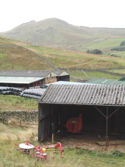
Image: © Steve Kent Taken: 2 Oct 2005
Taken from the forest track running along the Priesthaugh Burn. The distinctive shape of Skelfhill Pen is the hill in the background.
Images are licensed for reuse under creativecommons.org/licenses/by-sa/2.0
Image Location
Latitude
55.331627
Longitude
-2.844852