Towards Broadmead
Introduction
The photograph on this page of Towards Broadmead by Derek Harper as part of the Geograph project.
The Geograph project started in 2005 with the aim of publishing, organising and preserving representative images for every square kilometre of Great Britain, Ireland and the Isle of Man.

There are currently over 7.5m images from over 14,400 individuals and you can help contribute to the project by visiting https://www.geograph.org.uk
Towards Broadmead
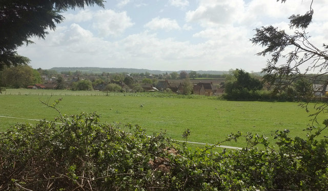
Image: © Derek Harper Taken: 27 Apr 2019
From Whitfield Lane as it runs past the trees shown in Image The nearer houses across the fields are along West Street.
Images are licensed for reuse under creativecommons.org/licenses/by-sa/2.0
Image Location
Latitude
50.945266
Longitude
-2.815564