Whitfield Lane, South Petherton
Introduction
The photograph on this page of Whitfield Lane, South Petherton by Derek Harper as part of the Geograph project.
The Geograph project started in 2005 with the aim of publishing, organising and preserving representative images for every square kilometre of Great Britain, Ireland and the Isle of Man.

There are currently over 7.5m images from over 14,400 individuals and you can help contribute to the project by visiting https://www.geograph.org.uk
Whitfield Lane, South Petherton
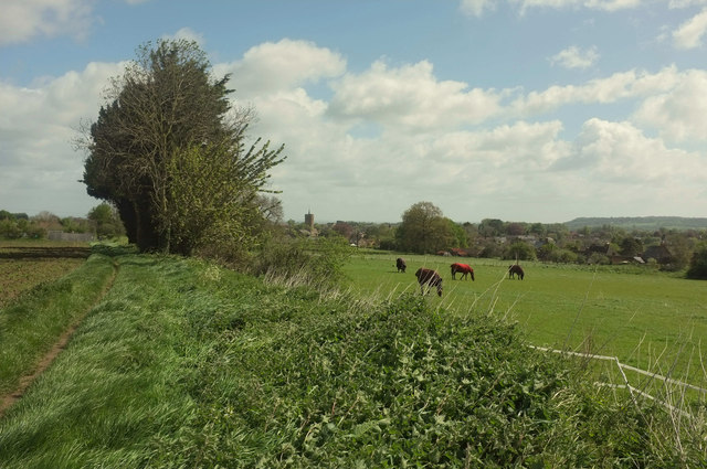
Image: © Derek Harper Taken: 27 Apr 2019
A reverse view of Image] along footpath 40UD100 Y 24/87, with a distant view of the church at South Petherton.
Images are licensed for reuse under creativecommons.org/licenses/by-sa/2.0
Image Location
Latitude
50.94507
Longitude
-2.817838