Whitfield Lane, South Petherton
Introduction
The photograph on this page of Whitfield Lane, South Petherton by Derek Harper as part of the Geograph project.
The Geograph project started in 2005 with the aim of publishing, organising and preserving representative images for every square kilometre of Great Britain, Ireland and the Isle of Man.

There are currently over 7.5m images from over 14,400 individuals and you can help contribute to the project by visiting https://www.geograph.org.uk
Whitfield Lane, South Petherton
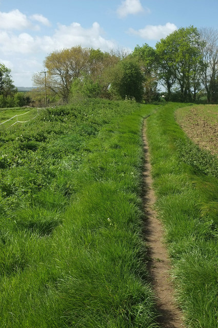
Image: © Derek Harper Taken: 27 Apr 2019
The lane is no more than a wide area of vegetation between fields, but re-establishes itself at the bushes ahead, where it, and footpath 40UD100 Y 24/87, plunge down to the meet the sunken Partway Lane, running at right angles.
Images are licensed for reuse under creativecommons.org/licenses/by-sa/2.0
Image Location
Latitude
50.944797
Longitude
-2.818403