Signs of amalgamation
Introduction
The photograph on this page of Signs of amalgamation by Richard Webb as part of the Geograph project.
The Geograph project started in 2005 with the aim of publishing, organising and preserving representative images for every square kilometre of Great Britain, Ireland and the Isle of Man.

There are currently over 7.5m images from over 14,400 individuals and you can help contribute to the project by visiting https://www.geograph.org.uk
Signs of amalgamation
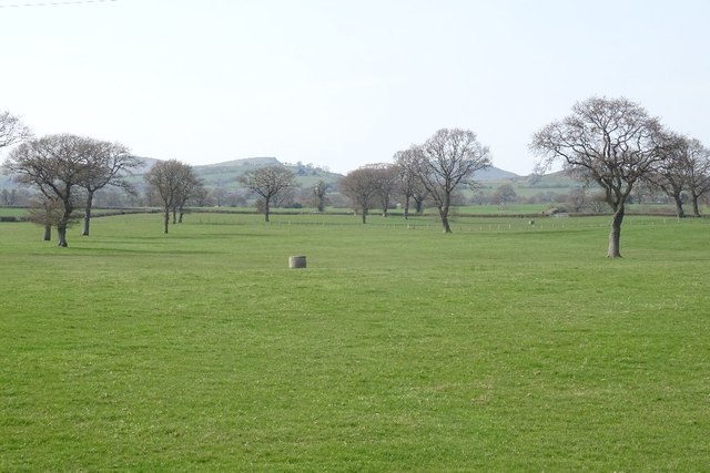
Image: © Richard Webb Taken: 1 Apr 2019
A big field made up by removing hedges. Mature trees were left standing.
Images are licensed for reuse under creativecommons.org/licenses/by-sa/2.0
Image Location


Leaflet Map data © OpenStreetMap
Latitude
52.533503
Longitude
-2.701532