Hayes End, South Petherton
Introduction
The photograph on this page of Hayes End, South Petherton by Derek Harper as part of the Geograph project.
The Geograph project started in 2005 with the aim of publishing, organising and preserving representative images for every square kilometre of Great Britain, Ireland and the Isle of Man.

There are currently over 7.5m images from over 14,400 individuals and you can help contribute to the project by visiting https://www.geograph.org.uk
Hayes End, South Petherton
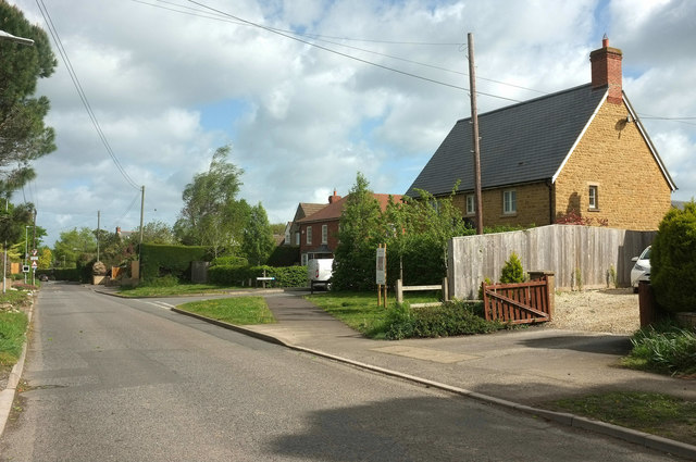
Image: © Derek Harper Taken: 27 Apr 2019
The main road connecting the A303 to the village (or is it a small town?). Looking right from where Image] was taken, with the junction with Chapel Field just ahead.
Images are licensed for reuse under creativecommons.org/licenses/by-sa/2.0
Image Location
Latitude
50.943646
Longitude
-2.802868