The Newry Valley extending southwards towards the head of Carlingford Lough
Introduction
The photograph on this page of The Newry Valley extending southwards towards the head of Carlingford Lough by Eric Jones as part of the Geograph project.
The Geograph project started in 2005 with the aim of publishing, organising and preserving representative images for every square kilometre of Great Britain, Ireland and the Isle of Man.

There are currently over 7.5m images from over 14,400 individuals and you can help contribute to the project by visiting https://www.geograph.org.uk
The Newry Valley extending southwards towards the head of Carlingford Lough
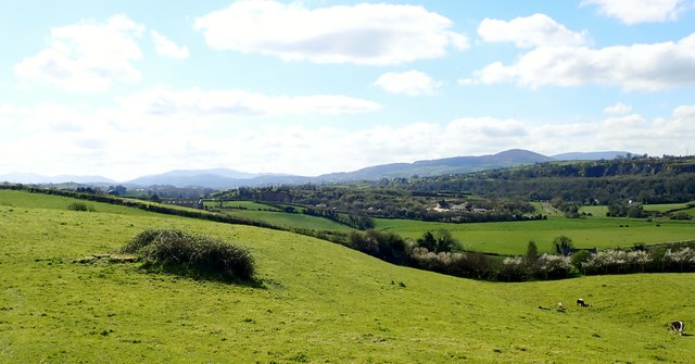
Image: © Eric Jones Taken: 10 Apr 2019
The glacially modified valley was used for the construction of the Newry Canal. In the background are the mountains of the Ring of Gullion and the mountains of the Cooley Peninsula. This image was taken East of Jerrettspass.
Images are licensed for reuse under creativecommons.org/licenses/by-sa/2.0
Image Location
Latitude
54.234993
Longitude
-6.359009