Path from Roberttown to Pogg Myres
Introduction
The photograph on this page of Path from Roberttown to Pogg Myres by habiloid as part of the Geograph project.
The Geograph project started in 2005 with the aim of publishing, organising and preserving representative images for every square kilometre of Great Britain, Ireland and the Isle of Man.

There are currently over 7.5m images from over 14,400 individuals and you can help contribute to the project by visiting https://www.geograph.org.uk
Path from Roberttown to Pogg Myres
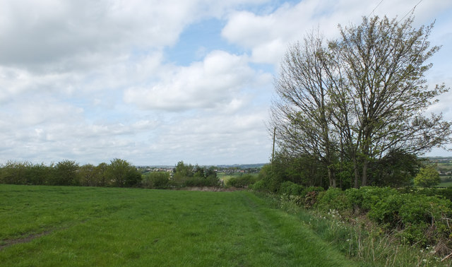
Image: © habiloid Taken: 28 Apr 2019
Path across the fields from Echo Street, Roberttown, to Pogg Myres.
Images are licensed for reuse under creativecommons.org/licenses/by-sa/2.0
Image Location
Latitude
53.701452
Longitude
-1.705504