The B4039 in Yatton Keynell
Introduction
The photograph on this page of The B4039 in Yatton Keynell by Neil Owen as part of the Geograph project.
The Geograph project started in 2005 with the aim of publishing, organising and preserving representative images for every square kilometre of Great Britain, Ireland and the Isle of Man.

There are currently over 7.5m images from over 14,400 individuals and you can help contribute to the project by visiting https://www.geograph.org.uk
The B4039 in Yatton Keynell
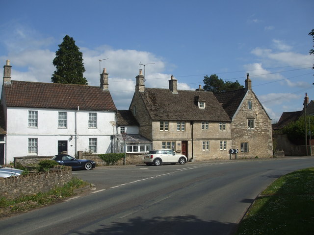
Image: © Neil Owen Taken: 29 Apr 2019
As the main road leaves Yatton Keynell to the north, the B4039 turns to the north west; The Street actually carries on northwards. On one of the houses beside the small conservatory is a benchmark - see Image
Images are licensed for reuse under creativecommons.org/licenses/by-sa/2.0
Image Location
Latitude
51.487469
Longitude
-2.193661