Old Doocot
Introduction
The photograph on this page of Old Doocot by Bill Kasman as part of the Geograph project.
The Geograph project started in 2005 with the aim of publishing, organising and preserving representative images for every square kilometre of Great Britain, Ireland and the Isle of Man.

There are currently over 7.5m images from over 14,400 individuals and you can help contribute to the project by visiting https://www.geograph.org.uk
Old Doocot
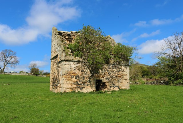
Image: © Bill Kasman Taken: 29 Apr 2019
This 17th century doocot (dovecote) lies close to Largo Home Farm. See Upper Largo article https://www.geograph.org.uk/article/Upper-Largo
Images are licensed for reuse under creativecommons.org/licenses/by-sa/2.0
Image Location
Latitude
56.221212
Longitude
-2.939797