Path, Hennock
Introduction
The photograph on this page of Path, Hennock by Derek Harper as part of the Geograph project.
The Geograph project started in 2005 with the aim of publishing, organising and preserving representative images for every square kilometre of Great Britain, Ireland and the Isle of Man.

There are currently over 7.5m images from over 14,400 individuals and you can help contribute to the project by visiting https://www.geograph.org.uk
Path, Hennock
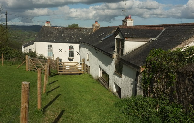
Image: © Derek Harper Taken: 25 Apr 2019
A crossing of grid line is only feet away behind to the left here, and this stretch of Hennock footpath 1 crosses, for 40 metres or so, the northwest corner of this square as it passes the house on the right. The Old Chapel, though, facing the camera across Church Road, is in Image; see Image
Images are licensed for reuse under creativecommons.org/licenses/by-sa/2.0
Image Location
Latitude
50.616853
Longitude
-3.65488