Path onto Epsom Downs
Introduction
The photograph on this page of Path onto Epsom Downs by Robin Webster as part of the Geograph project.
The Geograph project started in 2005 with the aim of publishing, organising and preserving representative images for every square kilometre of Great Britain, Ireland and the Isle of Man.

There are currently over 7.5m images from over 14,400 individuals and you can help contribute to the project by visiting https://www.geograph.org.uk
Path onto Epsom Downs
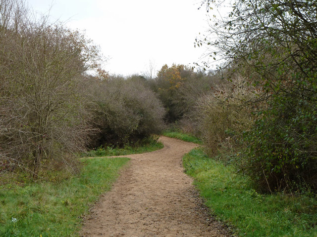
Image: © Robin Webster Taken: 22 Nov 2010
It appears to be made suitable for horses.
Images are licensed for reuse under creativecommons.org/licenses/by-sa/2.0
Image Location
Latitude
51.308291
Longitude
-0.267321