Outwood Forest Park
Introduction
The photograph on this page of Outwood Forest Park by David Dixon as part of the Geograph project.
The Geograph project started in 2005 with the aim of publishing, organising and preserving representative images for every square kilometre of Great Britain, Ireland and the Isle of Man.

There are currently over 7.5m images from over 14,400 individuals and you can help contribute to the project by visiting https://www.geograph.org.uk
Outwood Forest Park
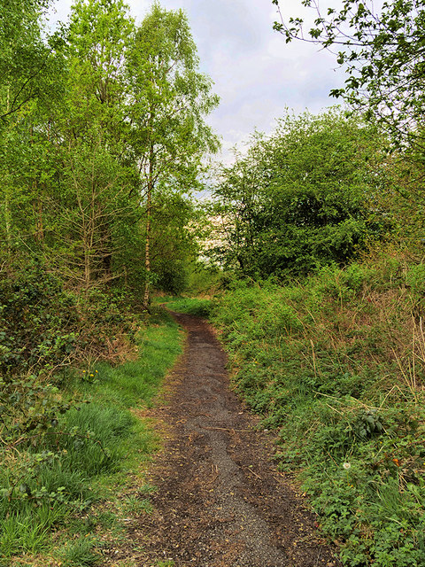
Image: © David Dixon Taken: 25 Apr 2019
The site of the former Outwood colliery consisted of 13 hectares of derelict land, collapsed buildings, spoil heaps, contaminated land and a number of uncapped mineshafts. Ownership of the site was transferred from British Coal Property to Bury Council in October 1997 with a view to reclaiming the land for public open space as part of the wider Outwood Forest Park project. The reclaimed land now provides a main gateway into the 80-hectare Outwood Forest Park and has a car park and footpaths; 25,000 trees have been planted. The park links with the Outwood Trail, the Irwell Sculpture Trail and the National Cycle Route and can accessed from Radcliffe by the recently restored Outwood Viaduct or from Ringley Road West at Outwood.
Images are licensed for reuse under creativecommons.org/licenses/by-sa/2.0
Image Location
Latitude
53.549886
Longitude
-2.337438