Junction of Bryngwyn Street and the A4049, Fleur-de-lis
Introduction
The photograph on this page of Junction of Bryngwyn Street and the A4049, Fleur-de-lis by Jaggery as part of the Geograph project.
The Geograph project started in 2005 with the aim of publishing, organising and preserving representative images for every square kilometre of Great Britain, Ireland and the Isle of Man.

There are currently over 7.5m images from over 14,400 individuals and you can help contribute to the project by visiting https://www.geograph.org.uk
Junction of Bryngwyn Street and the A4049, Fleur-de-lis
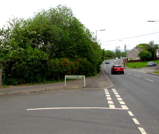
Image: © Jaggery Taken: 16 May 2018
From the left, Bryngwyn Street joins the A4049.
Images are licensed for reuse under creativecommons.org/licenses/by-sa/2.0
Image Location
Latitude
51.660767
Longitude
-3.219139