Knob Farm
Introduction
The photograph on this page of Knob Farm by David Hignett as part of the Geograph project.
The Geograph project started in 2005 with the aim of publishing, organising and preserving representative images for every square kilometre of Great Britain, Ireland and the Isle of Man.

There are currently over 7.5m images from over 14,400 individuals and you can help contribute to the project by visiting https://www.geograph.org.uk
Knob Farm
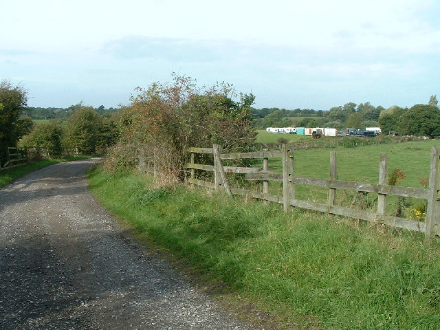
Image: © David Hignett Taken: 28 Sep 2005
This place, which apparently has a sideline in caravan storage, and squats to the West of the M6 seemed irresistible on the map. Less so in reality.
Images are licensed for reuse under creativecommons.org/licenses/by-sa/2.0
Image Location
Latitude
53.620552
Longitude
-2.689349