St Andrews Way, Sawtry
Introduction
The photograph on this page of St Andrews Way, Sawtry by David Howard as part of the Geograph project.
The Geograph project started in 2005 with the aim of publishing, organising and preserving representative images for every square kilometre of Great Britain, Ireland and the Isle of Man.

There are currently over 7.5m images from over 14,400 individuals and you can help contribute to the project by visiting https://www.geograph.org.uk
St Andrews Way, Sawtry
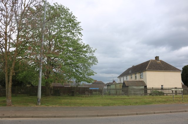
Image: © David Howard Taken: 27 Apr 2019
Linking the town to the old A1, now the B1043 which runs alongside the motorway.
Images are licensed for reuse under creativecommons.org/licenses/by-sa/2.0
Image Location
Latitude
52.437167
Longitude
-0.276046