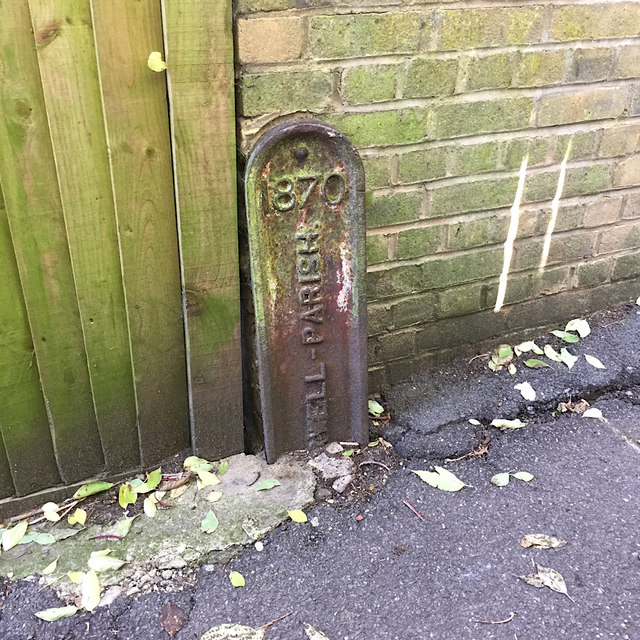
Cast iron parish boundary marker, Jasper Passage, Upper Norwood, southeast London
Introduction
The photograph on this page of Cast iron parish boundary marker, Jasper Passage, Upper Norwood, southeast London by Robin Stott as part of the Geograph project.
The Geograph project started in 2005 with the aim of publishing, organising and preserving representative images for every square kilometre of Great Britain, Ireland and the Isle of Man.
There are currently over 7.5m images from over 14,400 individuals and you can help contribute to the project by visiting https://www.geograph.org.uk

Image: © Robin Stott Taken: 11 Oct 2018
Dated 1870, its lower part is now below the paved surface but it appears to denote Camberwell Parish and perhaps responsibility for this urban footpath. It's assumed to mark a boundary: the boundaries of four modern boroughs meet up on the Crystal Palace hill: Bromley, Croydon, Lambeth and Southwark, which takes in Camberwell.

