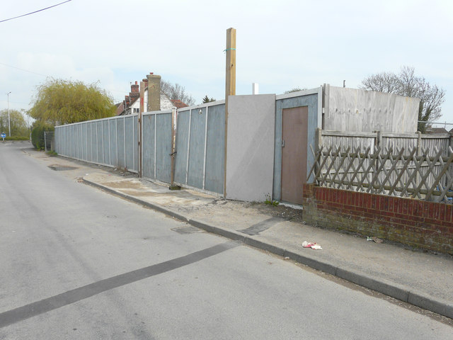
Hoarding, King Street
Introduction
The photograph on this page of Hoarding, King Street by John Baker as part of the Geograph project.
The Geograph project started in 2005 with the aim of publishing, organising and preserving representative images for every square kilometre of Great Britain, Ireland and the Isle of Man.
There are currently over 7.5m images from over 14,400 individuals and you can help contribute to the project by visiting https://www.geograph.org.uk

Image: © John Baker Taken: 14 Apr 2019
This was the Image in 2016; it seems to have been replaced by hoarding of a lighter colour and fitted with a gate and door. Planning permission has been approved, with conditions, by Folkestone and Hythe District Council under application number Y18/0523/FH for the “erection of two blocks of 4 two-storey dwellings, with some rooms in roof, and a block of 3.two-storey dwellings (11 dwellings in total), with some rooms in roof, together with associated parking, sewerage treatment plant and access way”. This has superseded the previous planning permission, which was approved, with conditions, by Folkestone and Hythe District Council under application number Y14/0578/SH for the “erection of a block of 4 two storey dwellings, with some rooms in the roof; a block of 5 two storey dwellings, with some rooms in the roof; and 2 semi-detached dwellings; together with associated parking, sewage treatment plant and access way, following demolition of buildings”.

