Approaching the SW end of Acton Lake
Introduction
The photograph on this page of Approaching the SW end of Acton Lake by Eric Jones as part of the Geograph project.
The Geograph project started in 2005 with the aim of publishing, organising and preserving representative images for every square kilometre of Great Britain, Ireland and the Isle of Man.

There are currently over 7.5m images from over 14,400 individuals and you can help contribute to the project by visiting https://www.geograph.org.uk
Approaching the SW end of Acton Lake
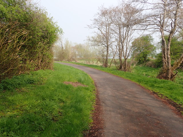
Image: © Eric Jones Taken: 18 Apr 2019
Acton Lake was enlarged to provide water for topping up the level of water in the Newry Canal.
Images are licensed for reuse under creativecommons.org/licenses/by-sa/2.0
Image Location
Latitude
54.305629
Longitude
-6.366801