Sheugh emerging from under the railway line and draining in the direction of the Newry Canal
Introduction
The photograph on this page of Sheugh emerging from under the railway line and draining in the direction of the Newry Canal by Eric Jones as part of the Geograph project.
The Geograph project started in 2005 with the aim of publishing, organising and preserving representative images for every square kilometre of Great Britain, Ireland and the Isle of Man.

There are currently over 7.5m images from over 14,400 individuals and you can help contribute to the project by visiting https://www.geograph.org.uk
Sheugh emerging from under the railway line and draining in the direction of the Newry Canal
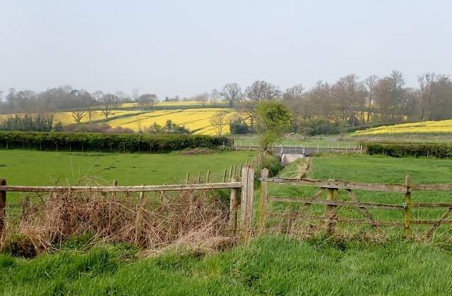
Image: © Eric Jones Taken: 18 Apr 2019
The reclaimed marshes on the valley floor yield a good crop of grass, while the drier soils of the drumlins support oilseed rape. The image was taken from the Newry Canal Towpath.
Images are licensed for reuse under creativecommons.org/licenses/by-sa/2.0
Image Location
Latitude
54.298213
Longitude
-6.369859