Shute House, Hennock
Introduction
The photograph on this page of Shute House, Hennock by Derek Harper as part of the Geograph project.
The Geograph project started in 2005 with the aim of publishing, organising and preserving representative images for every square kilometre of Great Britain, Ireland and the Isle of Man.

There are currently over 7.5m images from over 14,400 individuals and you can help contribute to the project by visiting https://www.geograph.org.uk
Shute House, Hennock
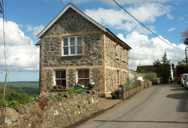
Image: © Derek Harper Taken: 25 Apr 2019
Duplicating Robin's image at Image, but perhaps the sunlight on the end wall may enhance his fine description of the building materials involved.
Images are licensed for reuse under creativecommons.org/licenses/by-sa/2.0
Image Location
Latitude
50.614635
Longitude
-3.652682