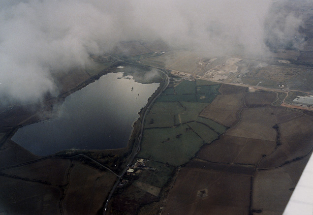
Lidlington Reservoir and Escheat Farm
Introduction
The photograph on this page of Lidlington Reservoir and Escheat Farm by Martin Addison as part of the Geograph project.
The Geograph project started in 2005 with the aim of publishing, organising and preserving representative images for every square kilometre of Great Britain, Ireland and the Isle of Man.
There are currently over 7.5m images from over 14,400 individuals and you can help contribute to the project by visiting https://www.geograph.org.uk

Image: © Martin Addison Taken: 11 Oct 1989
Aerial view of the reservoir adjacent to the small town of Lidlington. The buildings in the foreground are Escheats Farm and Vale Farm. The road skirting the reservoir is the A421. On the right of the farms is a dismantled railway line - I have not ascertained what its route was, but part of it appears to have been reused in the vicinity of Brogborough for an improved routing of the A421.

