West Lane, near Trimdon
Introduction
The photograph on this page of West Lane, near Trimdon by Malc McDonald as part of the Geograph project.
The Geograph project started in 2005 with the aim of publishing, organising and preserving representative images for every square kilometre of Great Britain, Ireland and the Isle of Man.

There are currently over 7.5m images from over 14,400 individuals and you can help contribute to the project by visiting https://www.geograph.org.uk
West Lane, near Trimdon
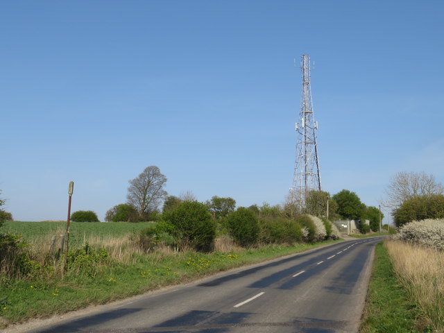
Image: © Malc McDonald Taken: 20 Apr 2019
West Lane is a minor road through County Durham countryside. On the other side of the road is a transmission mast. The post in the foreground to the left of the road indicates a public footpath.
Images are licensed for reuse under creativecommons.org/licenses/by-sa/2.0
Image Location
Latitude
54.701903
Longitude
-1.44258