Gate and barrier across National Cycle Network Route 43, Ystradgynlais
Introduction
The photograph on this page of Gate and barrier across National Cycle Network Route 43, Ystradgynlais by Jaggery as part of the Geograph project.
The Geograph project started in 2005 with the aim of publishing, organising and preserving representative images for every square kilometre of Great Britain, Ireland and the Isle of Man.

There are currently over 7.5m images from over 14,400 individuals and you can help contribute to the project by visiting https://www.geograph.org.uk
Gate and barrier across National Cycle Network Route 43, Ystradgynlais
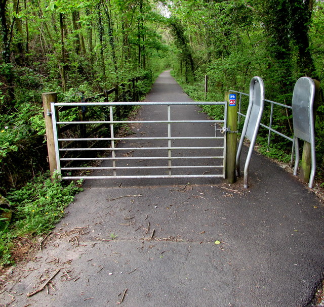
Image: © Jaggery Taken: 16 May 2016
Preventing vehicular misuse of this https://www.geograph.org.uk/photo/6132343 footpath/cycleway on the route of a dismantled railway, part of National Cycle Network Route 43 which when complete will extend from Builth Wells to Swansea. Walkers and cyclists can go through the inwardly-sloping barrier on the right.
Images are licensed for reuse under creativecommons.org/licenses/by-sa/2.0
Image Location
Latitude
51.769182
Longitude
-3.75409