Housing Development at the former Woollen Mill, Green Lane
Introduction
The photograph on this page of Housing Development at the former Woollen Mill, Green Lane by Mark Anderson as part of the Geograph project.
The Geograph project started in 2005 with the aim of publishing, organising and preserving representative images for every square kilometre of Great Britain, Ireland and the Isle of Man.

There are currently over 7.5m images from over 14,400 individuals and you can help contribute to the project by visiting https://www.geograph.org.uk
Housing Development at the former Woollen Mill, Green Lane
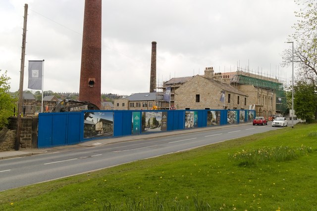
Image: © Mark Anderson Taken: 25 Apr 2019
The chimney on the left can be seen in this 2006 image: Image and the stone building on the right in this photograph from 2013: Image
Images are licensed for reuse under creativecommons.org/licenses/by-sa/2.0
Image Location
Latitude
53.858601
Longitude
-1.685246