Cut Mark: Lincoln, Richmond Road
Introduction
The photograph on this page of Cut Mark: Lincoln, Richmond Road by Brian Westlake as part of the Geograph project.
The Geograph project started in 2005 with the aim of publishing, organising and preserving representative images for every square kilometre of Great Britain, Ireland and the Isle of Man.

There are currently over 7.5m images from over 14,400 individuals and you can help contribute to the project by visiting https://www.geograph.org.uk
Cut Mark: Lincoln, Richmond Road
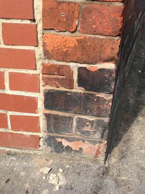
Image: © Brian Westlake Taken: 24 Apr 2019
Cut bench mark on the wall angle at the junction of Richmond Road and Hampton Street. See https://www.geograph.org.uk/photo/6132067 for a wider view and https://www.bench-marks.org.uk/bm106980 for details.
Images are licensed for reuse under creativecommons.org/licenses/by-sa/2.0
Image Location


Leaflet Map data © OpenStreetMap
Latitude
53.234594
Longitude
-0.550585