Bleaching Ground
Introduction
The photograph on this page of Bleaching Ground by Simon Carey as part of the Geograph project.
The Geograph project started in 2005 with the aim of publishing, organising and preserving representative images for every square kilometre of Great Britain, Ireland and the Isle of Man.

There are currently over 7.5m images from over 14,400 individuals and you can help contribute to the project by visiting https://www.geograph.org.uk
Bleaching Ground
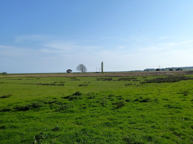
Image: © Simon Carey Taken: 21 Apr 2019
The name of the field according to Icklesham's 1845 tithe map located at the northern end of Pett Level. Name may derive from area where cloth was once bleached.
Images are licensed for reuse under creativecommons.org/licenses/by-sa/2.0
Image Location
Latitude
50.914951
Longitude
0.702537