House in Stanton
Introduction
The photograph on this page of House in Stanton by Philip Halling as part of the Geograph project.
The Geograph project started in 2005 with the aim of publishing, organising and preserving representative images for every square kilometre of Great Britain, Ireland and the Isle of Man.

There are currently over 7.5m images from over 14,400 individuals and you can help contribute to the project by visiting https://www.geograph.org.uk
House in Stanton
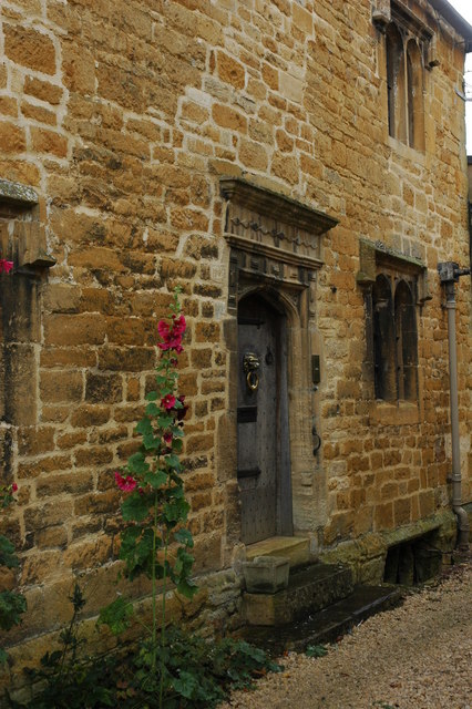
Image: © Philip Halling Taken: 11 Nov 2007
Detail of an old Cotswold Stone house in the village of Stanton.
Images are licensed for reuse under creativecommons.org/licenses/by-sa/2.0
Image Location


Leaflet Map data © OpenStreetMap
Latitude
52.005926
Longitude
-1.902931