North End of the Tunnel, Keele Disused Railway lines
Introduction
The photograph on this page of North End of the Tunnel, Keele Disused Railway lines by Brian Deegan as part of the Geograph project.
The Geograph project started in 2005 with the aim of publishing, organising and preserving representative images for every square kilometre of Great Britain, Ireland and the Isle of Man.

There are currently over 7.5m images from over 14,400 individuals and you can help contribute to the project by visiting https://www.geograph.org.uk
North End of the Tunnel, Keele Disused Railway lines
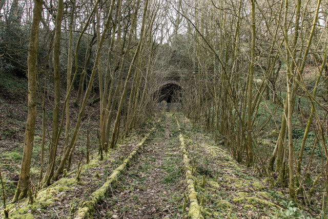
Image: © Brian Deegan Taken: 6 Apr 2019
Opened around 1863 and disused since 1998, tracks still in situ. https://en.wikipedia.org/wiki/Stoke_to_Market_Drayton_Line
Images are licensed for reuse under creativecommons.org/licenses/by-sa/2.0
Image Location
Latitude
53.001468
Longitude
-2.308706