Road junction near Sedgefield
Introduction
The photograph on this page of Road junction near Sedgefield by Malc McDonald as part of the Geograph project.
The Geograph project started in 2005 with the aim of publishing, organising and preserving representative images for every square kilometre of Great Britain, Ireland and the Isle of Man.

There are currently over 7.5m images from over 14,400 individuals and you can help contribute to the project by visiting https://www.geograph.org.uk
Road junction near Sedgefield
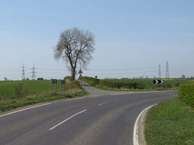
Image: © Malc McDonald Taken: 20 Apr 2019
A road junction in the countryside in County Durham. The road which curves to the right is called Butterwick Road. The road which branches off to the left is also called Butterwick Road.
Images are licensed for reuse under creativecommons.org/licenses/by-sa/2.0
Image Location


Leaflet Map data © OpenStreetMap
Latitude
54.662566
Longitude
-1.409788