Dumpers Lane
Introduction
The photograph on this page of Dumpers Lane by Neil Owen as part of the Geograph project.
The Geograph project started in 2005 with the aim of publishing, organising and preserving representative images for every square kilometre of Great Britain, Ireland and the Isle of Man.

There are currently over 7.5m images from over 14,400 individuals and you can help contribute to the project by visiting https://www.geograph.org.uk
Dumpers Lane
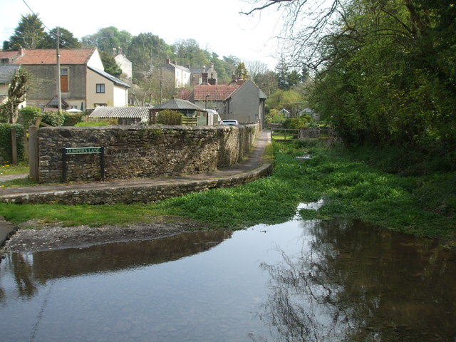
Image: © Neil Owen Taken: 22 Apr 2019
Looking upstream to the source of the River Chew, the lane is more water than pavement.
Images are licensed for reuse under creativecommons.org/licenses/by-sa/2.0
Image Location
Latitude
51.276078
Longitude
-2.57583