Footpath between Cupid's Corner & Samuel's Corner
Introduction
The photograph on this page of Footpath between Cupid's Corner & Samuel's Corner by David Kemp as part of the Geograph project.
The Geograph project started in 2005 with the aim of publishing, organising and preserving representative images for every square kilometre of Great Britain, Ireland and the Isle of Man.

There are currently over 7.5m images from over 14,400 individuals and you can help contribute to the project by visiting https://www.geograph.org.uk
Footpath between Cupid's Corner & Samuel's Corner
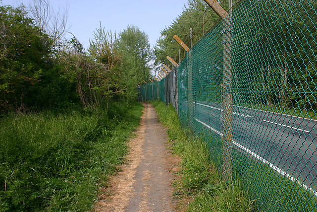
Image: © David Kemp Taken: 22 Apr 2019
The fencing is there to prevent access to Suttons Road, an MoD road that runs parallel to the path and is officially inaccessible to unauthorised persons. Taken looking north from a point just south of Morrins Chase.
Images are licensed for reuse under creativecommons.org/licenses/by-sa/2.0
Image Location
Latitude
51.549583
Longitude
0.820346