St Mary Magdalene's benchmark
Introduction
The photograph on this page of St Mary Magdalene's benchmark by Neil Owen as part of the Geograph project.
The Geograph project started in 2005 with the aim of publishing, organising and preserving representative images for every square kilometre of Great Britain, Ireland and the Isle of Man.

There are currently over 7.5m images from over 14,400 individuals and you can help contribute to the project by visiting https://www.geograph.org.uk
St Mary Magdalene's benchmark
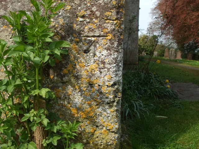
Image: © Neil Owen Taken: 22 Apr 2019
The village church of Chewton Mendip has a cutmark here; see Image] for a wider look or https://www.bench-marks.org.uk/bm106853 for the entry in the Benchmark Database.
Images are licensed for reuse under creativecommons.org/licenses/by-sa/2.0
Image Location
Latitude
51.276058
Longitude
-2.579844