Chesterton: new houses on Water Street
Introduction
The photograph on this page of Chesterton: new houses on Water Street by John Sutton as part of the Geograph project.
The Geograph project started in 2005 with the aim of publishing, organising and preserving representative images for every square kilometre of Great Britain, Ireland and the Isle of Man.

There are currently over 7.5m images from over 14,400 individuals and you can help contribute to the project by visiting https://www.geograph.org.uk
Chesterton: new houses on Water Street
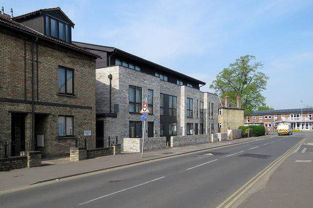
Image: © John Sutton Taken: 22 Apr 2019
These houses replace post-war council houses. Earlier images: Image] (March 2017) Image] (Hugh Venables, May 2017) Image] (December 2017)
Images are licensed for reuse under creativecommons.org/licenses/by-sa/2.0
Image Location


Leaflet Map data © OpenStreetMap
Latitude
52.218762
Longitude
0.146621