Shireoaks Bottom Lock
Introduction
The photograph on this page of Shireoaks Bottom Lock by Stephen McKay as part of the Geograph project.
The Geograph project started in 2005 with the aim of publishing, organising and preserving representative images for every square kilometre of Great Britain, Ireland and the Isle of Man.

There are currently over 7.5m images from over 14,400 individuals and you can help contribute to the project by visiting https://www.geograph.org.uk
Shireoaks Bottom Lock
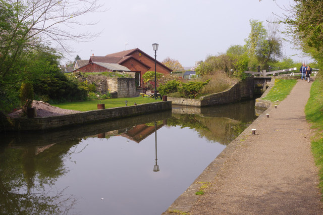
Image: © Stephen McKay Taken: 18 Apr 2019
This is the lowest of the three locks at Shireoaks on the Chesterfield Canal. A group of walkers head down along the well-maintained towpath.
Images are licensed for reuse under creativecommons.org/licenses/by-sa/2.0
Image Location
Latitude
53.320116
Longitude
-1.163953