Welsh Highland Railway, Porthmadog
Introduction
The photograph on this page of Welsh Highland Railway, Porthmadog by Arthur C Harris as part of the Geograph project.
The Geograph project started in 2005 with the aim of publishing, organising and preserving representative images for every square kilometre of Great Britain, Ireland and the Isle of Man.

There are currently over 7.5m images from over 14,400 individuals and you can help contribute to the project by visiting https://www.geograph.org.uk
Welsh Highland Railway, Porthmadog
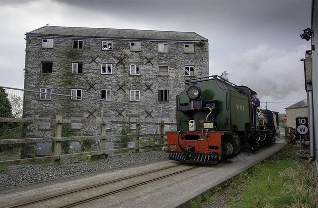
Image: © Arthur C Harris Taken: 9 Apr 2019
WHR No.143, Ex South African Railways NGG16 Class Garratt, heading service to Caernarfon with Porthmadog Flour Mill, a Grade II Listed Building, which has sadly been vandalised in the background.
Images are licensed for reuse under creativecommons.org/licenses/by-sa/2.0
Image Location


Leaflet Map data © OpenStreetMap
Latitude
52.928771
Longitude
-4.128687