Rhiwderin Level Crossing
Introduction
The photograph on this page of Rhiwderin Level Crossing by Jaggery as part of the Geograph project.
The Geograph project started in 2005 with the aim of publishing, organising and preserving representative images for every square kilometre of Great Britain, Ireland and the Isle of Man.

There are currently over 7.5m images from over 14,400 individuals and you can help contribute to the project by visiting https://www.geograph.org.uk
Rhiwderin Level Crossing
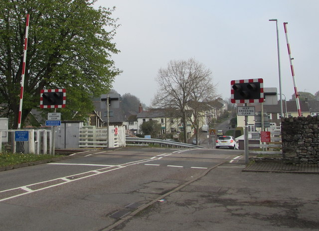
Image: © Jaggery Taken: 17 Apr 2019
The intersection of Pentre Tai Road and a single-track railway near the former Rhiwderin station, now a private residence. The station closed in March 1954. The railway remains in use in 2019 to connect Machen quarry with Park Junction, Newport. The quarry provides ballast for the western region of Network Rail.
Images are licensed for reuse under creativecommons.org/licenses/by-sa/2.0
Image Location
Latitude
51.580229
Longitude
-3.068619