Berberis Place from a footpath
Introduction
The photograph on this page of Berberis Place from a footpath by John Baker as part of the Geograph project.
The Geograph project started in 2005 with the aim of publishing, organising and preserving representative images for every square kilometre of Great Britain, Ireland and the Isle of Man.

There are currently over 7.5m images from over 14,400 individuals and you can help contribute to the project by visiting https://www.geograph.org.uk
Berberis Place from a footpath
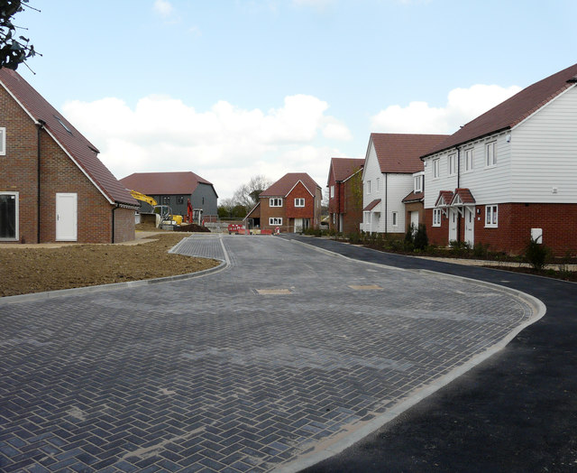
Image: © John Baker Taken: 14 Apr 2019
Planning permission was granted by Ashford Borough Council under application number 15/01496/AS for “residential development comprising 19 dwellings including 15 x 2 storey dwellings and 4 x 1 bedroom flats with associated infrastructure and services including garaging/provision for parking, open space, landscaping and a sustainable urban drainage system”.
Images are licensed for reuse under creativecommons.org/licenses/by-sa/2.0
Image Location
Latitude
51.107318
Longitude
0.813901