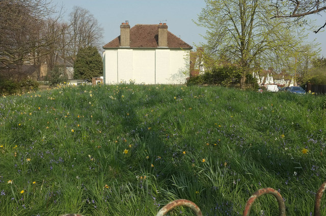
Shrewsbury Barrow
Introduction
The photograph on this page of Shrewsbury Barrow by Derek Harper as part of the Geograph project.
The Geograph project started in 2005 with the aim of publishing, organising and preserving representative images for every square kilometre of Great Britain, Ireland and the Isle of Man.
There are currently over 7.5m images from over 14,400 individuals and you can help contribute to the project by visiting https://www.geograph.org.uk

Image: © Derek Harper Taken: 17 Apr 2019
Seen from the stretch of Plum Lane seen in Image Shrewsbury Barrow is "a substantial earthen mound which survives reasonably well; ... highly representative of the Bronze Age period ... round barrows, particularly surviving in this good a state of preservation, are very rare in London" https://historicengland.org.uk/listing/the-list/list-entry/1430983 . "The last surviving of a group of six. Three of them were known to have formed a linear group, with the remaining two possibly forming or contributing to a second group. The barrows would have been located at the 'false horizon' position where they could be seen silhouetted against the sky from the foot of the hill ... in the mid C19 the barrow stood within the grounds of the mid-C19 Tower House, and it is illustrated with a ring of trees – only some of which remain". The house beyond is on Brinklow Crescent.

