City or Priday Mills, Gloucester
Introduction
The photograph on this page of City or Priday Mills, Gloucester by Alan Murray-Rust as part of the Geograph project.
The Geograph project started in 2005 with the aim of publishing, organising and preserving representative images for every square kilometre of Great Britain, Ireland and the Isle of Man.

There are currently over 7.5m images from over 14,400 individuals and you can help contribute to the project by visiting https://www.geograph.org.uk
City or Priday Mills, Gloucester
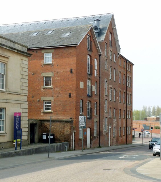
Image: © Alan Murray-Rust Taken: 15 Apr 2019
By Gloucester Docks, now converted to apartments. The nearest part of the mills is the oldest, dated 1850, with successive additions beyond. Listed Grade II. There is a bench mark http://www.geograph.org.uk/photo/6125330 on the near corner of the building.
Images are licensed for reuse under creativecommons.org/licenses/by-sa/2.0
Image Location
Latitude
51.864004
Longitude
-2.25046