Lum's Farm, Timberley Lane
Introduction
The photograph on this page of Lum's Farm, Timberley Lane by Des Blenkinsopp as part of the Geograph project.
The Geograph project started in 2005 with the aim of publishing, organising and preserving representative images for every square kilometre of Great Britain, Ireland and the Isle of Man.

There are currently over 7.5m images from over 14,400 individuals and you can help contribute to the project by visiting https://www.geograph.org.uk
Lum's Farm, Timberley Lane
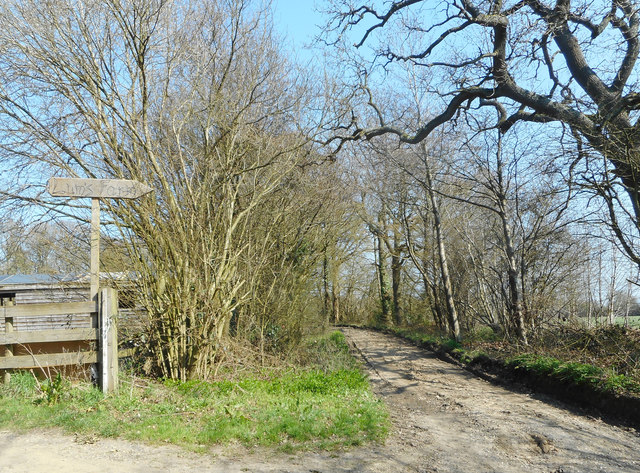
Image: © Des Blenkinsopp Taken: 29 Mar 2019
Along a named bridleway between Kingsash and Lee Gate.
Images are licensed for reuse under creativecommons.org/licenses/by-sa/2.0
Image Location
Latitude
51.743342
Longitude
-0.707572