Path crossing Dulverton Grove
Introduction
The photograph on this page of Path crossing Dulverton Grove by Stephen Craven as part of the Geograph project.
The Geograph project started in 2005 with the aim of publishing, organising and preserving representative images for every square kilometre of Great Britain, Ireland and the Isle of Man.

There are currently over 7.5m images from over 14,400 individuals and you can help contribute to the project by visiting https://www.geograph.org.uk
Path crossing Dulverton Grove
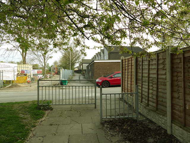
Image: © Stephen Craven Taken: 17 Apr 2019
The Cottingley estate contains an extensive network of paths between streets and blocks of housing, which can be confusing for a visitor as they don't always follow straight lines and right angles. Not all path/road junctions like this have such barriers, but this is close to a primary school.
Images are licensed for reuse under creativecommons.org/licenses/by-sa/2.0
Image Location
Latitude
53.768692
Longitude
-1.586546