Houses adjacent to graveyard at Tanfield
Introduction
The photograph on this page of Houses adjacent to graveyard at Tanfield by Trevor Littlewood as part of the Geograph project.
The Geograph project started in 2005 with the aim of publishing, organising and preserving representative images for every square kilometre of Great Britain, Ireland and the Isle of Man.

There are currently over 7.5m images from over 14,400 individuals and you can help contribute to the project by visiting https://www.geograph.org.uk
Houses adjacent to graveyard at Tanfield
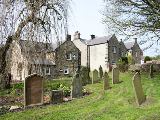
Image: © Trevor Littlewood Taken: 18 Apr 2019
The houses and gravestones lie to the west of the village church: St. Margaret of Antioch.
Images are licensed for reuse under creativecommons.org/licenses/by-sa/2.0
Image Location
Latitude
54.89371
Longitude
-1.70982