Leyburne Road
Introduction
The photograph on this page of Leyburne Road by John Baker as part of the Geograph project.
The Geograph project started in 2005 with the aim of publishing, organising and preserving representative images for every square kilometre of Great Britain, Ireland and the Isle of Man.

There are currently over 7.5m images from over 14,400 individuals and you can help contribute to the project by visiting https://www.geograph.org.uk
Leyburne Road
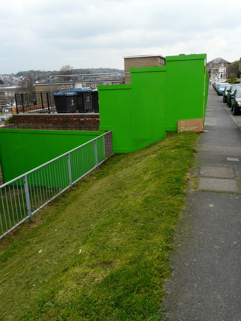
Image: © John Baker Taken: 12 Apr 2019
The hoarding encloses a building site, where work is ongoing, and includes that along Image Planning permission has been granted by Dover District Council under application number DOV/16/00095 for the “erection of 2 buildings incorporating 10 self-contained flats and erection of 3 pairs of semi-detached dwellings with associated parking and landscaping”.
Images are licensed for reuse under creativecommons.org/licenses/by-sa/2.0
Image Location
Latitude
51.129913
Longitude
1.314029