Coalpit Heath viaduct benchmark
Introduction
The photograph on this page of Coalpit Heath viaduct benchmark by Neil Owen as part of the Geograph project.
The Geograph project started in 2005 with the aim of publishing, organising and preserving representative images for every square kilometre of Great Britain, Ireland and the Isle of Man.

There are currently over 7.5m images from over 14,400 individuals and you can help contribute to the project by visiting https://www.geograph.org.uk
Coalpit Heath viaduct benchmark
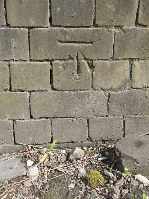
Image: © Neil Owen Taken: 18 Apr 2019
A crisp and clear cutmark on the mighty buttress of the railway viaduct. See https://www.bench-marks.org.uk/bm30635 for the entry in the Benchmark Database or Image] for a wider view of the impressive structure.
Images are licensed for reuse under creativecommons.org/licenses/by-sa/2.0
Image Location
Latitude
51.51956
Longitude
-2.478874