Tontine Street
Introduction
The photograph on this page of Tontine Street by John Baker as part of the Geograph project.
The Geograph project started in 2005 with the aim of publishing, organising and preserving representative images for every square kilometre of Great Britain, Ireland and the Isle of Man.

There are currently over 7.5m images from over 14,400 individuals and you can help contribute to the project by visiting https://www.geograph.org.uk
Tontine Street
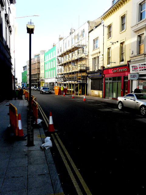
Image: © John Baker Taken: 10 Apr 2019
Barricades have been placed along the left side of the road. On the other side, scaffolding has been erected on the frontage of number 21, which appears to be undergoing refurbishment. Further down the road, the reconstruction of number 11 continues.
Images are licensed for reuse under creativecommons.org/licenses/by-sa/2.0
Image Location
Latitude
51.080814
Longitude
1.184135