The Willy Wicket Inn
Introduction
The photograph on this page of The Willy Wicket Inn by Eirian Evans as part of the Geograph project.
The Geograph project started in 2005 with the aim of publishing, organising and preserving representative images for every square kilometre of Great Britain, Ireland and the Isle of Man.

There are currently over 7.5m images from over 14,400 individuals and you can help contribute to the project by visiting https://www.geograph.org.uk
The Willy Wicket Inn
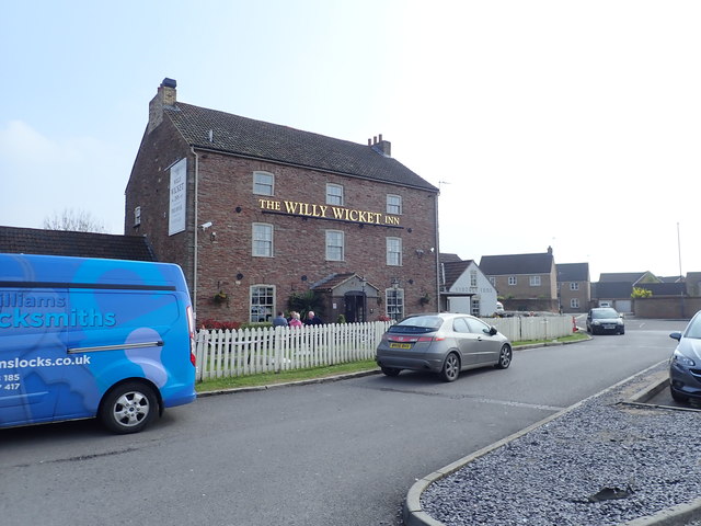
Image: © Eirian Evans Taken: 7 Apr 2019
The Willy Wicket was previously Wick Wick Farm, in the ancient parish of Mangotsfield. County assize records show the farm as 'Wekwicha' in 1221. 'Wic' is old English for 'dairy farm' and 'Wike' was derived from an old surnames.
Images are licensed for reuse under creativecommons.org/licenses/by-sa/2.0
Image Location
Latitude
51.50468
Longitude
-2.489524