Torrington, Shoeburyness
Introduction
The photograph on this page of Torrington, Shoeburyness by David Kemp as part of the Geograph project.
The Geograph project started in 2005 with the aim of publishing, organising and preserving representative images for every square kilometre of Great Britain, Ireland and the Isle of Man.

There are currently over 7.5m images from over 14,400 individuals and you can help contribute to the project by visiting https://www.geograph.org.uk
Torrington, Shoeburyness
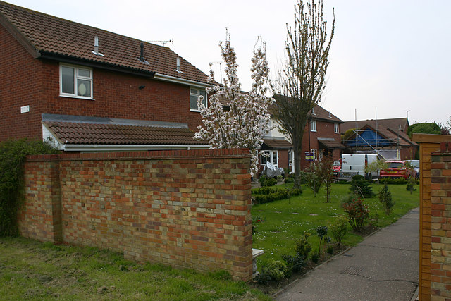
Image: © David Kemp Taken: 16 Apr 2019
Torrington is a cul-de-sac whose only vehicular access is from Aylesbeare. However its far end can be reached by pedestrians from nearby Ness Road by means of the footpath shown here. To get from Torrington to Ness Road by car involves a lengthy detour.
Images are licensed for reuse under creativecommons.org/licenses/by-sa/2.0
Image Location
Latitude
51.535804
Longitude
0.779691